●Roads
Heavy equipment is required on both sides of the construction site. In order to reduce costs, roads leading to both sides of the construction site should use existing roads as much as possible to reduce the distance of new roads, or use the construction right-of-way of the pipeline line, and all relevant agreements for the use of roads should be provided by the owner.
● Workplace
1.Drill rig side – The drill rig construction site needs to be at least 30M (100FT) wide and 45M (150FT) long. The area is counted from the entry point, which should be located at least 3M (10FT) within the specified area. Meanwhile, since many equipment or accessories supporting the drilling rig do not have a specified storage location, the construction site on the rig side can be composed of many small irregular blocks in order to save floor space, and the site should be as flat, hard and clean as possible in order to facilitate the construction. Since a large amount of fresh water is needed for mixing mud when crossing the construction, the construction site should be as close as possible to the water source or the place where the water pipeline can be easily connected.
2. The side of the pipeline —- in order to facilitate the prefabricated pipeline, the side of the pipeline to have a sufficient length of the construction site, which is also to focus on things to consider. The width of the site should meet the needs of pipeline construction (generally 12 —-18 meters). Similarly a construction site 30 meters (100 FT) wide by 45 meters (150 FT) long is required on the excavation point side. The total length should be able to place the prefabricated pipeline, (the total length of the site is generally the length of the crossing pipeline plus 30 meters,) before the back-dragging, the pipeline should be prefabricated, including welding, through the ball, test pressure corrosion and other processes, in the back-dragging process, the pipeline connection work can not be carried out again, because the back-dragging process is to be carried out continuously, if the pipeline connection at this time will probably cause the collapse of the underground borehole, which is very It may cause the failure of the whole project construction.
● Construction site survey
Once the construction site is determined, the corresponding area should be surveyed and a detailed and accurate geological and geomorphological drawing should be made. The accuracy of the final construction depends on the accuracy of the results of this survey.
● Construction design parameter
1.The thickness of the cover layer —- considers factors such as the flow characteristics of the river being crossed, the depth of seasonal flood scour, future widening and deepening of the river, and the location of existing pipelines and cables. Once the construction site is identified and the geological investigation is completed, the thickness of the crossing is determined, and in general, the overburden should be at least 6 m (20 FT) thick. The above is only for river crossing, there will be additional requirements for other obstacle crossing.
2. Drilling angle and radius of curvature —- In most crossing construction, the angle of entry is usually chosen between 8 – 12 degrees, and most construction should start with drilling a section of sloping straight line, followed by a large radius curve. The radius of curvature of this curve is determined by the bending characteristics of the finished pipeline and increases with the diameter. The thumb rule for the radius of curvature of steel pipelines is 100 FT/IN (generally taken as 1000-1200 times the diameter of the pipe). The diagonal straight line will guide the pilot hole curve to the designed depth according to the predetermined alignment, followed by a long horizontal straight section at this depth, and then reach the upward bending point and then to the emergence point. The emergence angle should be controlled between 5-12 degrees to allow for easy dragging back of the finished pipe.
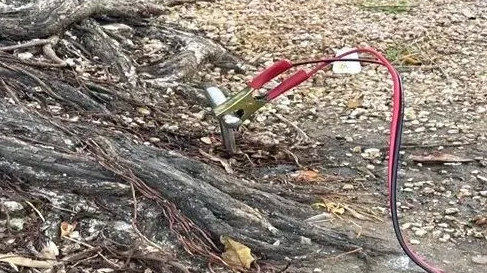
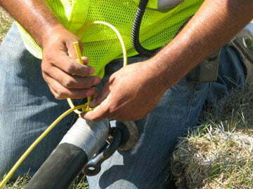
● Borehole construction
All directional control tools include underground measuring electronics and surface receiving equipment that can measure the magnetic azimuth (for left/right control) and inclination angle (up/down control) of the drill bit location and the drilling direction of the drill bit.
1. Accuracy: The accuracy of crossing construction depends largely on the variation of magnetic field. For example, large steel structures (bridges, pile foundations, other pipelines) and power lines can affect the magnetic field readings. And the deviation value of the pilot hole target for crossing out of the earth point should be controlled within the range of 3m (10FT) left and right, length – 3m to 10m (-10 to 30FT).
2. Completed drawing: Generally speaking, the measurement and control of the pilot hole should be measured and calculated once for every drilling rod or every 9 meters (30FT) when drilling the pilot hole. The above measurement and calculation of the completed guide hole construction drawings shall be provided by the contractor to the owner. Alternative methods such as gyroscope, ground penetrating radar and intelligent pipe clearing ball are also used to do the positioning work.